Nigeria Targets $90m Electronic Navigation Charts Market Through New Regional Centre

Nigeria’s government has unveiled strategic initiatives to tap into the lucrative global Electronic Navigational Charts (ENCs) market—estimated at $90 million—as part of broader efforts to advance maritime modernisation and expand the blue economy sector.
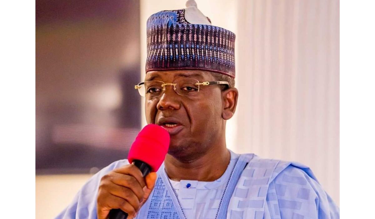
During the World Hydrography Day 2025 and the West African Hydrographic Summit held in Abuja on Saturday, Minister of State for Defence, Bello Matawalle, revealed these ambitious plans under the event’s theme, “Seabed Mapping – Enabling Ocean Action.”
A cornerstone of this initiative is the creation of the International Centre for Electronic Navigational Charts – West Africa Regional Office and Training Centre.
Matawalle emphasised Nigeria’s commitment to developing hydrographic capabilities, advancing technological investments, and fostering enhanced regional partnerships to ensure comprehensive coverage of Nigerian waters for safety and sustainability.
He highlighted how sustainable development in coastal and riverine areas directly correlates with a deeper understanding and effective management of marine environments.
“It is on this note that I announce the formal establishment of the International Centre for Electronic Navigational Charts, West Africa Regional Office & Training Centre, to be hosted by the National Hydrographic Agency here in Abuja.
“Through this strategic partnership, the National Hydrographic Agency of Nigeria joins four other global regional offices in the US, UK, Australia, and Brazil.
“This move positions Nigeria to tap into the $90 million global market for Electronic Navigational Charts, potentially generating between $9 million and $12 million annually from chart validation, distribution, and revenue management for international shipping clients,” he said.
The minister noted that seabed mapping has evolved from a technical convenience into a critical strategic necessity, given the infrastructure networks of undersea cables, pipelines, and marine ecosystems that support modern civilisation.
Matawalle acknowledged that, despite the ocean’s fundamental importance to contemporary society, vast areas remain unmapped and consequently vulnerable.
He explained that hydrographic data collection beneath Nigeria’s waters supports secure maritime navigation, marine spatial planning, climate research, coastal protection, and the advancement of the blue economy.
The minister also praised the National Hydrographic Agency’s achievements since its inception in 2021:
“In essence, seabed mapping is the foundation upon which sound ocean action is built.
“It has taken giant strides to place Nigeria on the map as a credible hydrographic nation active in the engagement and promotion of hydrography.
“We are proud to support your efforts as you align with the International Hydrographic Organisation’s goals and drive innovation across West Africa,” he said.
Matawalle underscored the summit’s broader purpose beyond seabed mapping, emphasising the development of resources, information systems, and collaborative frameworks that facilitate meaningful ocean initiatives, improved decision-making, environmental protection, navigation safety, and responsible marine resource utilisation.
He described seabed mapping as essential for maximising blue economy potential—an emerging sector offering substantial opportunities for economic diversification, employment generation, food security, and energy sector development.
“From charting offshore wind zones to identifying safe routes for maritime trade and protecting critical marine habitats, hydrography is the backbone of a sustainable ocean economy.
“Therefore, Nigeria must leverage its hydrographic capacity not only to secure its waters but also to fuel its economic transformation.
“By investing in seabed mapping, we invest in resilience, in growth, and in future generations.
“Let us leave this summit with renewed purpose to support hydrographic development—not just as a technical endeavour, but as a national security priority, an economic catalyst, and a global commitment to sustainable development.
“On behalf of the Government of Nigeria, I pledge continued support for hydrographic capacity building, investment in technology, and stronger regional ties to ensure that no part of our waters remains uncharted, unsafe, or unsustainable,” he added.
According to data from Market Research Future, the global Electronic Navigational Charts market was valued at $3.54 billion in 2024, with projections showing growth from $3.87 billion in 2025 to $8.45 billion by 2034, representing a compound annual growth rate of 9.82% over the forecast period.
Federation Hydrographer Rear Admiral Ayodeji Olugbode emphasised the importance of highlighting hydrography’s economic and ocean governance significance across the West African region during Tuesday’s World Hydrography Day celebration in Abuja.
The event’s theme, “Seabed Mapping – Enabling Ocean Action,” aligns with the Seabed 2030 Initiative’s objectives: to enhance regional cooperation through the West African Hydrographic Summit, promote joint surveys, establish shared data platforms, and feature educational presentations highlighting hydrography and seabed mapping as globally critical programs for navigation safety, climate resilience, environmental stewardship, and economic development.


